Surface Seismic
Surface Seismic Methods for Subsurface Characterization
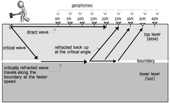
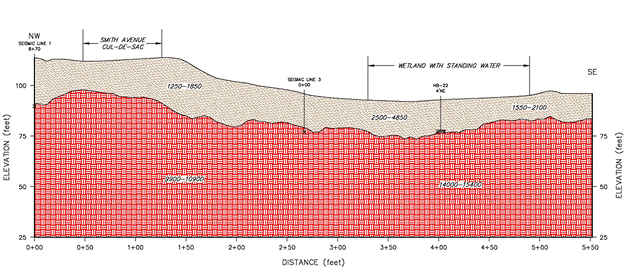
Surface Seismic Refraction Method
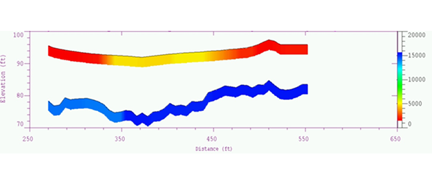
Determining Depth and Hardness of Subsurface Layers
The Seismic Refraction Method is a geophysical technique used to determine the depth and velocity of subsurface layers by analyzing the travel times of seismic waves. Geological layers tend to have velocity contrasts, which are detectable by seismic refraction. The relative velocities of subsurface layers are typically:
How It Works
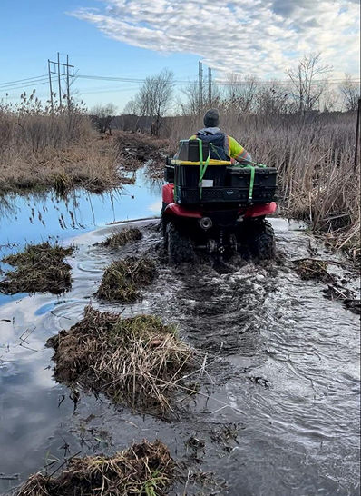
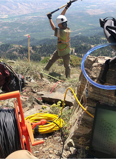
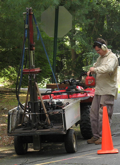
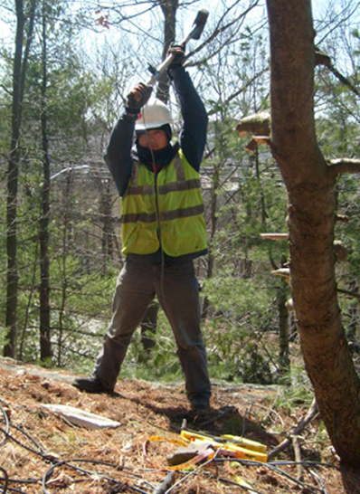
- Energy Source:A controlled seismic energy source (e.g., hammer strike, accelerated weight drop, or explosive) generates seismic waves.
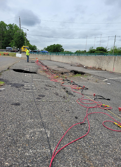
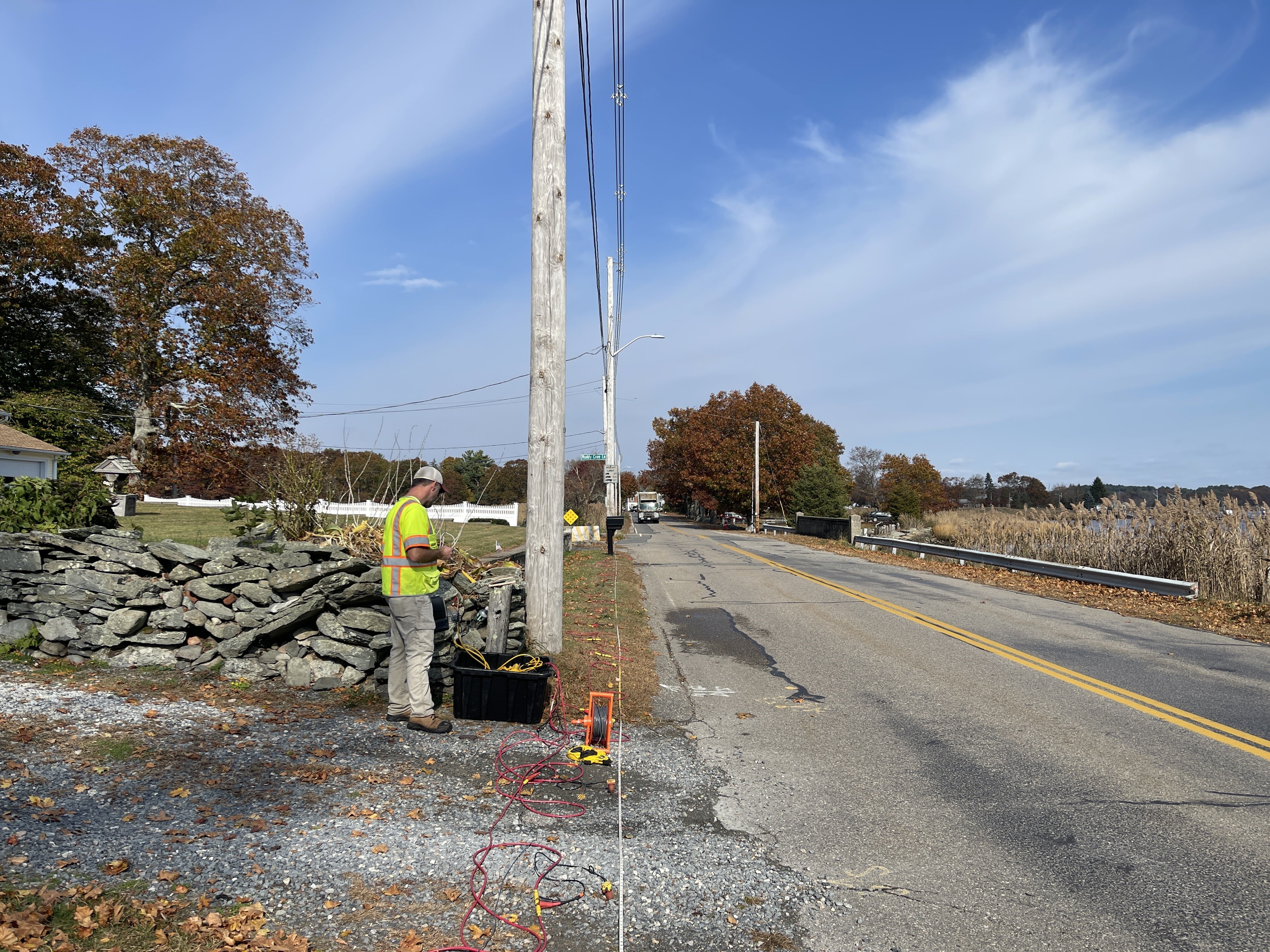
- Geophones:Detect seismic waves along the ground surface
- Wave Types:
- Direct Waves: Travel directly through the shallow subsurface layers.
- Refracted Waves: Encounter deeper, higher-velocity layers and bend along the boundary, reaching geophones farther from the source before direct waves.
- Data Analysis:First arrival times are plotted against distance to create a travel-time curve, which is used to calculate subsurface velocities and layer depths.
Limitations
- Velocity Increase:Effective detection requires significant velocity differences between layers.
- Layer Thickness:Thin layers may not be detectable.
- Guide geotechniVelocity Increase:cal and foundation planning with non-invasive profilingSeismic velocity must increase with depth; sub-optimal conditions include frozen ground and asphalt pavements.
Applications
- Engineering & Construction
- Bedrock Mapping:Determine the depth and topography of bedrock to support foundation design and site planning.
- Overburden Analysis:Assess the thickness and composition of soil and unconsolidated material above bedrock.
- Rock Rippability Assessment:Evaluate the hardness of rock to estimate whether it can be mechanically excavated or requires blasting.
- Landslide Plane Detection:Identify potential slip surfaces to design slope stabilization measures.
- Excavation Planning:Aid in cost estimation and method selection for earthworks.
- Environmental & Hydrogeological Studies
- Water Table Detection:Locate the water table by identifying changes in seismic velocity associated with saturated zones.
- Aquifer Mapping:Delineate shallow aquifers and distinguish between saturated and unsaturated zones.
- Contaminant Pathway Identification:Indirectly infer preferential flow paths through fractured rock or permeable soil layers.
- Mining & Quarrying
- Rock Rippability Assessment:Determine the feasibility of ripping versus blasting in surface mining.
- Bedrock Profiling:Map depth to bedrock and assess overburden for mine planning.
- Fracture Zone Detection:Identify zones of weakness or fracturing that could affect slope stability or groundwater inflow.
- Detection:Identify location and geometry of potential or existing failure planes.
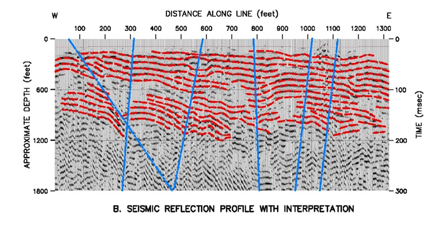
Seismic Reflection Method
Seismic Reflection is a method of exploration geophysics that estimates the properties of the Earth's subsurface from reflected seismic waves.
How It Works
- Energy Source:Seismic pulse (e.g., weight drop, vibroseis)
- Geophones:Capture reflected seismic waves
- Analysis:Travel times and amplitudes used to construct detailed depth sections
Applications
- Imaging shallow stratigraphy
- Locating water-bearing zones or faults
- Mapping lateral continuity of layers
Limitations
- Requires precise data acquisition and processing
- Sensitive to surface noise and heterogeneities
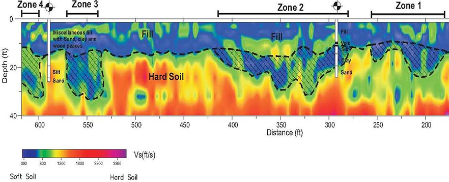
MASW (Multichannel Analysis of Surface Waves)
Non-Destructive Shear-Wave Profiling
MASW uses surface waves (Rayleigh waves) to characterize the shear-wave velocity (Vs) of the subsurface to develop 2D models of Vs structure.
How It Works
- Energy Source:A controlled seismic energy source (e.g., hammer strike, accelerated weight drop, or explosive) generates seismic waves
- Geophones:Array captures surface waves along ground surface
- Wave Behavior:Energy reflects off interfaces of contrasting material properties
- Analysis:Dispersion curves are generated and inverted to Vs-depth profiles
Applications
- Site classification for seismic design
- Soil stiffness and liquefaction potential
- Layer thickness estimation
Limitations
- Limited depth resolution compared to refraction
- May be affected by cultural noise
Passive Shear Wave Velocity (pVs) Testing
pVs uses passive seismic energy (ambient vibrations) to model the shear-wave velocity structure without an active source.
How It Works
- Energy Source:Ambient seismic energy/vibrations
- Geophones:Array captures surface waves along ground surface
- Analysis:Frequency versus velocity curves are generated and inverted to 1D Vs-depth profiles
Applications
- Urban environments where active sources are impractical
- Determine the shear wave velocity as a function of depth for the determination of site-specific seismic site class
- Bedrock depth estimation
Limitations
- Lower Resolution than active methods
- Dependent on presence of ambient noise.
Horizontal-to-Vertical Spectral Ratio (H/V)
The Horizontal-to-Vertical Spectral Ratio (H/V) method is a passive seismic technique used to determine the depth of bedrock by estimating subsurface resonance frequencies from ambient seismic noise. The amplitude spectra of the horizontal and vertical components of ground motion is analyzed to model subsurface stratigraphy.
How It Works
- A three-component seismometer records ambient vibrations (microtremors).
- The spectral ratio of horizontal (H) to vertical (V) ground motion is calculated over a range of frequencies.
Applications
- Mapping sediment thickness or bedrock depth.
Limitations
- Interpretation of H/V peaks can be ambiguous without supporting data such as borings and pVs.
Summary
These seismic techniques provide a powerful, non-invasive suite of tools to characterize subsurface conditions for geotechnical and environmental purposes. By analyzing seismic wave behavior, they provide insights into the depth, composition, and structure of geological layers.