

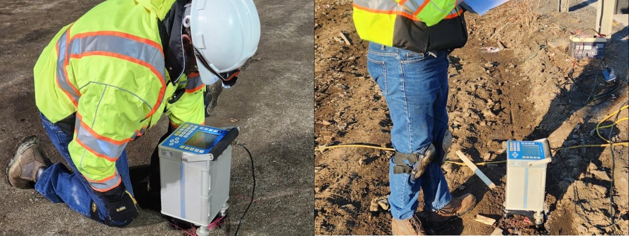
Microgravity
Microgravity is a geophysical method used to detect subtle variations in the Earth's gravitational field caused by differences in subsurface density. It is particularly effective for identifying voids (e.g., sinkholes, mine shafts) and detecting variations in bedrock topography. Because gravity anomalies reflect mass contrasts, the method is useful in both environmental and engineering contexts where non-invasive imaging is critical. However, microgravity has limitations: it requires extremely precise measurements and rigorous corrections for noise sources such as nearby traffic, buildings, and elevation changes. It is also best suited for detecting relatively large or sharply defined anomalies at shallow to moderate depths — smaller or diffuse features may not produce a measurable anomaly. Overall, microgravity is a powerful tool when used under the right conditions and combined with other geophysical methods for cross-validation and resolution enhancement.
Applications of Microgravity
Engineering
- Site Characterization for Construction:Detect subsurface voids, sinkholes, or low-density zones that may pose risks to buildings or infrastructure.
- Land Subsidence Monitoring:Track subtle ground-level changes over time due to groundwater withdrawal or geological processe
Environmental Engineering
- Remedial Investigations:Locate buried landfills, abandoned infrastructure, or other anomalous features relevant to environmental assessments.
Archaeology & Cultural Heritage
- Buried Structure Detection:Locate tombs, foundations, or chambers in archaeological sites with minimal surface disturbance.