Electrical Resistivity Imaging
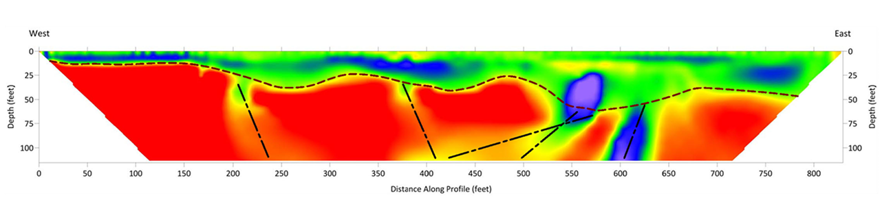
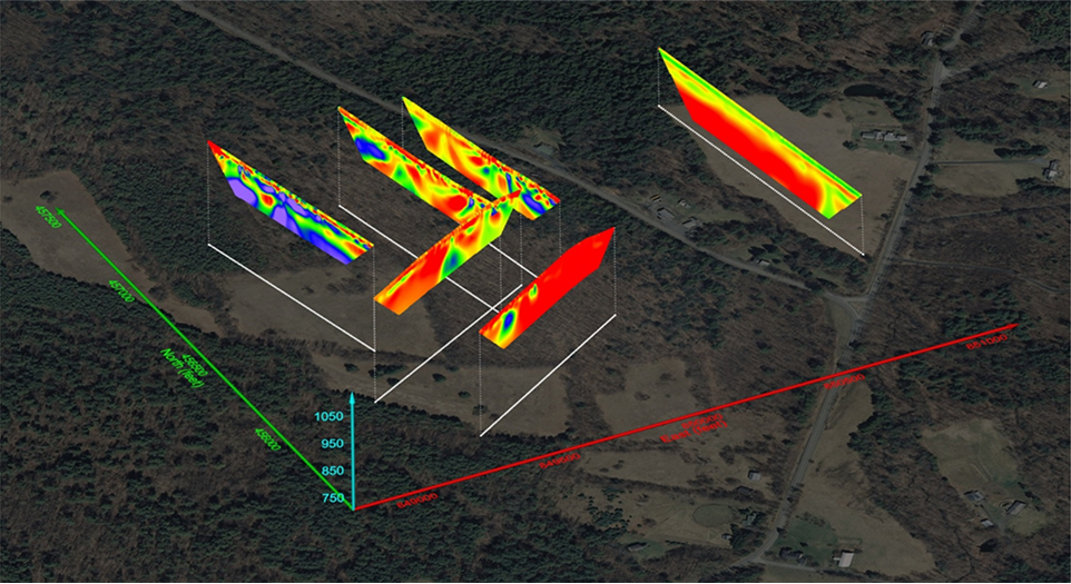
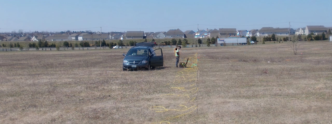
Electrical Resistivity Imaging (ERI) characterizes the subsurface by measuring the spatial distribution of electrical resistivity. By injecting current into the ground through a series of electrodes and recording the resulting voltage differences, ERI generates two-dimensional or three-dimensional models that reveal variations in soil, rock, moisture content, or any other variables which influence conductivity. This technique is particularly effective for delineating stratigraphy, locating groundwater or contaminant plumes, and identifying subsurface anomalies such as voids or buried structures—offering a high-resolution, non-invasive complement to traditional site investigation methods. One-dimensional vertical electrical soundings are also used to understand variations in resistivity by depth at a single point.
The capabilities of electrical resistivity surveys may be limited in highly industrialized or urbanized areas where cultural features such as buildings, fences, and power lines can interfere with the acquisition of data. The target depth, size, and resistivity contrast all influence detectability.
Applications of Electrical Resistivity Imaging
Environmental & Remediation
Specific Applications
- Map groundwater flow and water table depth
- Define aquifer boundaries and recharge zones
- Assist in dam and levee integrity assessments
Geologic Hazard Identification
- Detect sinkholes, voids, and unstable ground
- Identify fault zones and fractured bedrock
Site & Infrastructure Planning
- Determine overburden thickness and subsurface layering
- Support corrosion control design by mapping soil resistivity
- Locate buried geologic features (e.g., mafic dikes)