

Precision Utility Locating (PUL)
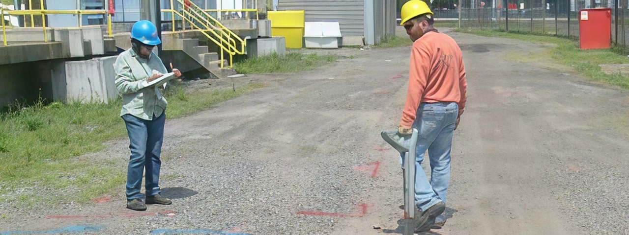
Precision Utility Locating (PUL) is a rapid and cost-effective way to detect and track subsurface utilities. The locations of utilities can be marked at a site without data processing, and in some circumstances, the depths of the utilities can be approximated.
The PUL methods is always used by HRGS in conjunction with complementary geophysical methods such as magnetics, EM, and GPR. PUL can be used successfully in urban areas where surface features such as buildings and overhead utilities prevent the effective use of other geophysical methods. It works well in areas of conductive ground where GPR does not. The most common type of PUL equipment detects the electromagnetic field produced by the current flowing along a buried conductor, such as a pipe or cable, and uses that field to locate the utility.
PUL equipment cannot be used to detect non-metallic pipes, such as concrete, clay, or plastic, except in cases where surface access permits the insertion of an accessory device to transmit signals.
Applications of Precision Utility Locating
- General Construction Projects: Identify and avoid underground utilities before excavation begins, especially in congested urban areas where the capabilities of other geophysical methods are limited.
- Subsurface Drilling Programs: Ensure safe drilling by confirming the absence of utility conflicts at borehole and test pit locations.
- Transportation Infrastructure Projects: Assist with utility locating for highways, airports, and rail facilities to reduce risk during major construction or expansion efforts.