Borehole Geophysical Logging
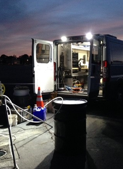
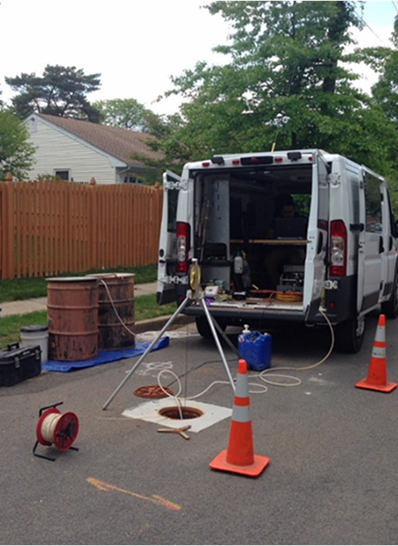
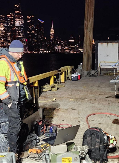
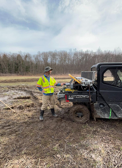
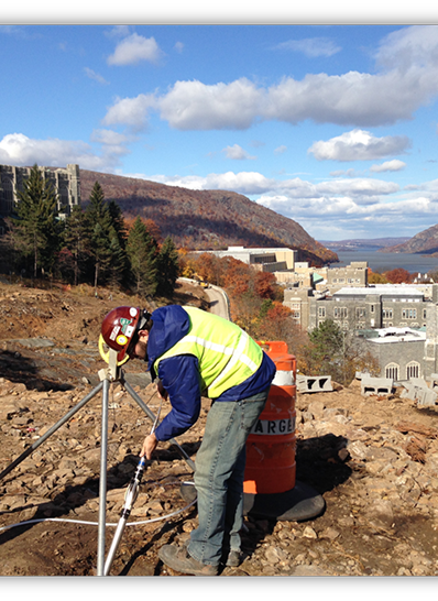
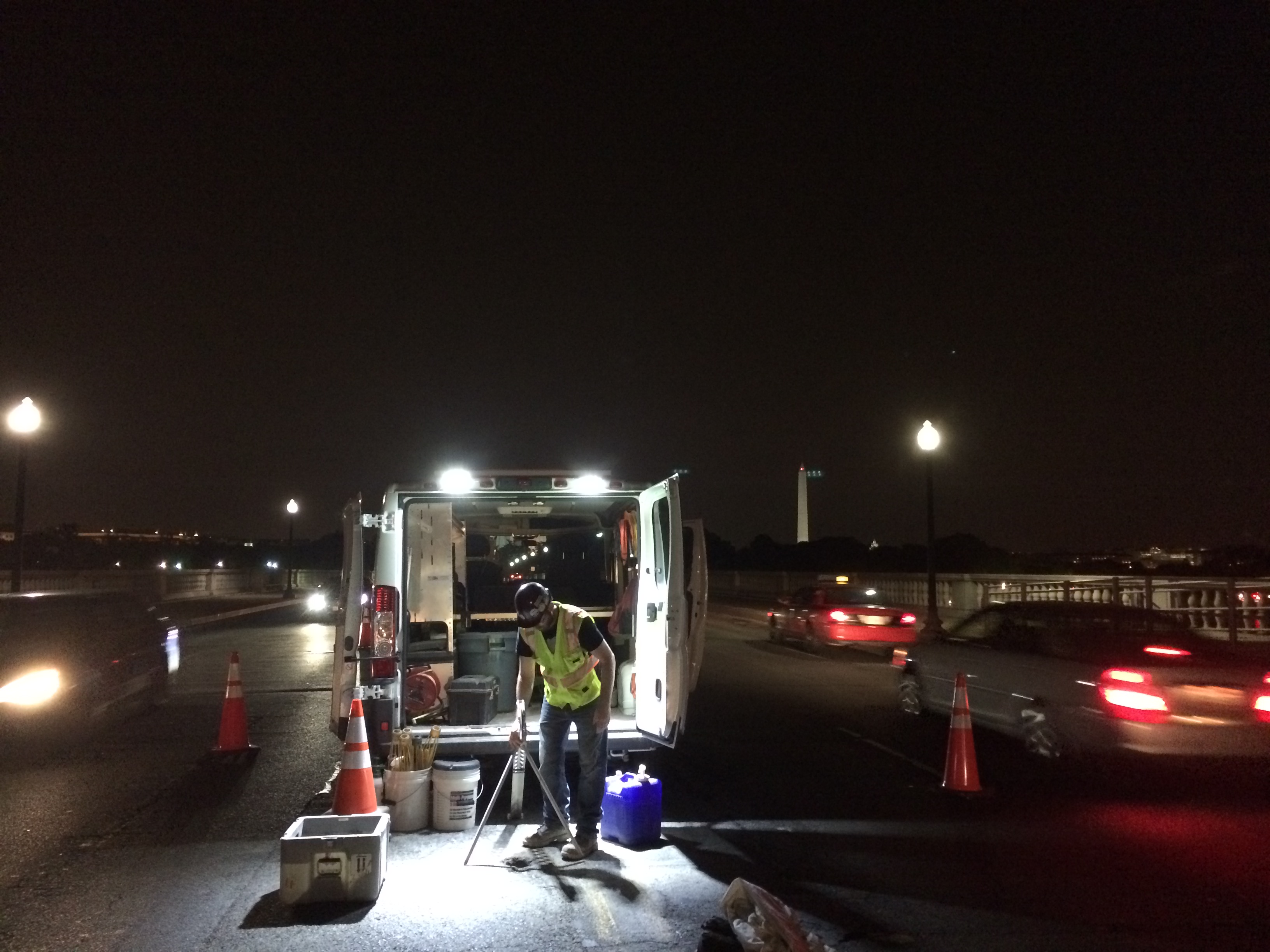
HRGS is well known and respected for its borehole geophysical logging services for sensitive projects and in challenging conditions. HRGS owns multiple borehole geophysical logging systems with a full suite of borehole geophysical logging probes. HRGS also owns a custom logging van that acts as a mobile field office and is powered by a battery bank and solar panels.
Borehole geophysical logging provides results that can be used for high-resolution characterization of in situ subsurface conditions of overburden and fill bedrock and manmade structures for geotechnical, environmental, water resource, and geothermal investigations, including geologic and hydrogeologic characterization. Physical properties are measured by the materials (overburden, bedrock, concrete, and others) and fluids surrounding the borehole with downhole probes. Some methods must be conducted in the open bedrock portions of boreholes, while other methods can be used in/through PVC and/or steel casing and drill rods.
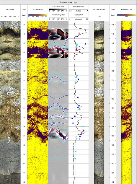
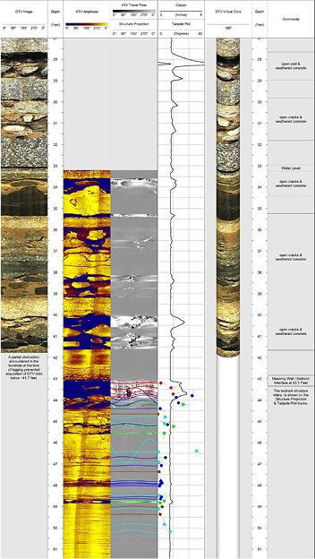
The borehole geophysical data are measured in situ and thus provide highly accurate information about subsurface properties. In addition to measuring direct properties of the materials and fluids surrounding boreholes, borehole geophysical logging can also be used to measure the deviation/verticality of boreholes, as well as image the inside of the casing and of open-hole portions of a borehole in bedrock, concrete, masonry, and ground improved overburden/soils with borehole video and borehole televiewers. Optical televiewer (OTV) and acoustic televiewer (ATV) logging provides extremely high-resolution oriented images of the borehole wall that are used to determine the depths and orientations (dip azimuths/strike and dip angles) of bedrock structures (fractures,/joints, bedding, foliation) intersected by the borehole.
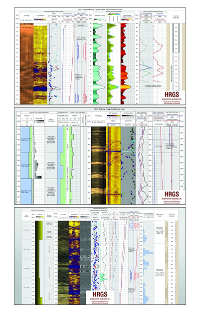
The properties measured as part of a borehole geophysical logging investigation depend on the objectives of the project, and HRGS specializes in using its extensive experience to design a logging program cohesively integrating an effective suite of borehole geophysical methods along with surface geophysical methods and/or other subsurface characterization data from others to meet and exceed the project goals.
HRGS works as part of the overall project team to design the borehole geophysical logging program, conducts the field operations, processes and interprets the data to provide clear results useful for the project, and then follows through assisting the project team to understand and get the most out of the results.
Below is a list of the borehole geophysical logging methods offered by HRGS.
- Optical Televiewer
- Acoustic Televiewer
- Borehole Deviation
- Caliper (3-Arm and Acoustic Caliper)
- Fluid Temperature & Fluid Conductivity
- Heat Pulse Flowmeter (HPFM)
- Spinner Flowmeter (SFM)
- Discrete Wireline Borehole Fluid Sampling
- Spontaneous Potential (SP)
- Single Point Resistance (SPR)
- Normal Electrical Resistivity
- Borehole Electromagnetic Induction
- Borehole Nuclear Magnetic Resonance (NMR)
- Full Waveform Sonic (FWS)
- Borehole Video