Services
Why Geophysics?
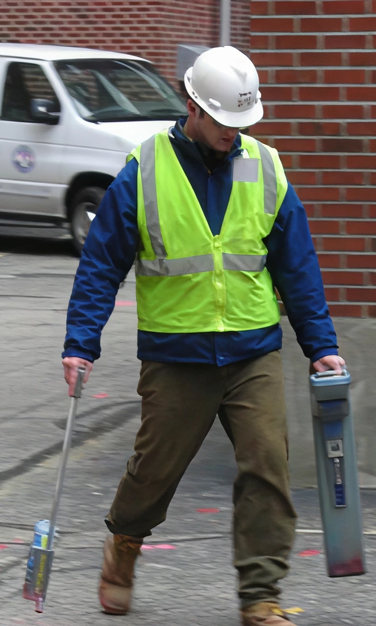
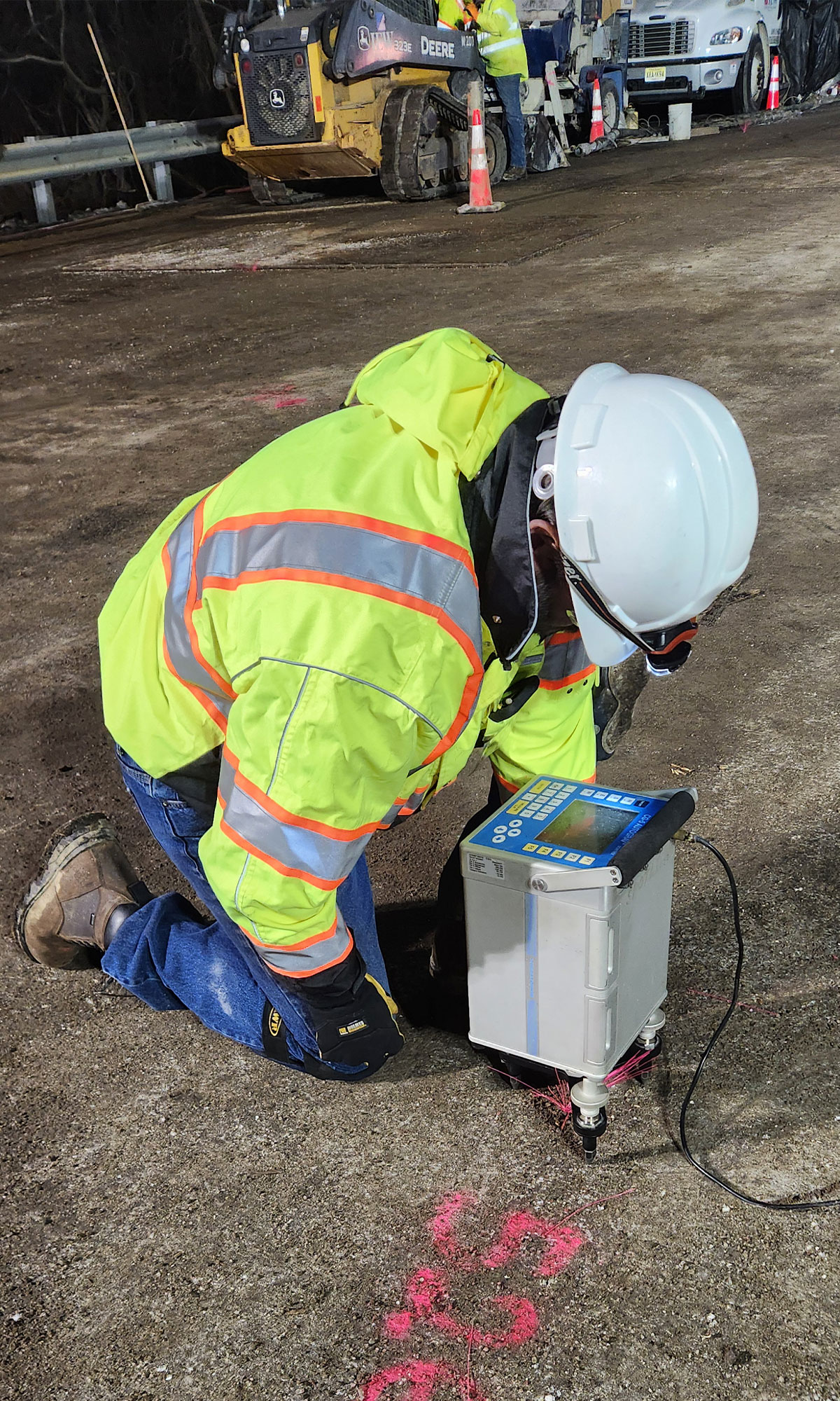
Geophysics can provide high-resolution characterization of subsurface conditions through non and minimally invasive methods. Geophysics provides actionable data facilitating confident decision making to keep your project moving forward with minimal disruption to the site. Geophysics mitigates project risks, saves time and budget, and optimizes geotechnical site characterization using proven, effective exploration methods and practices. According to FHWA, schedule and costs of up to 50% of major infrastructure projects are significantly impacted by geotechnical issues, many of which are related to the scope and quality of subsurface characterization.
Objectives
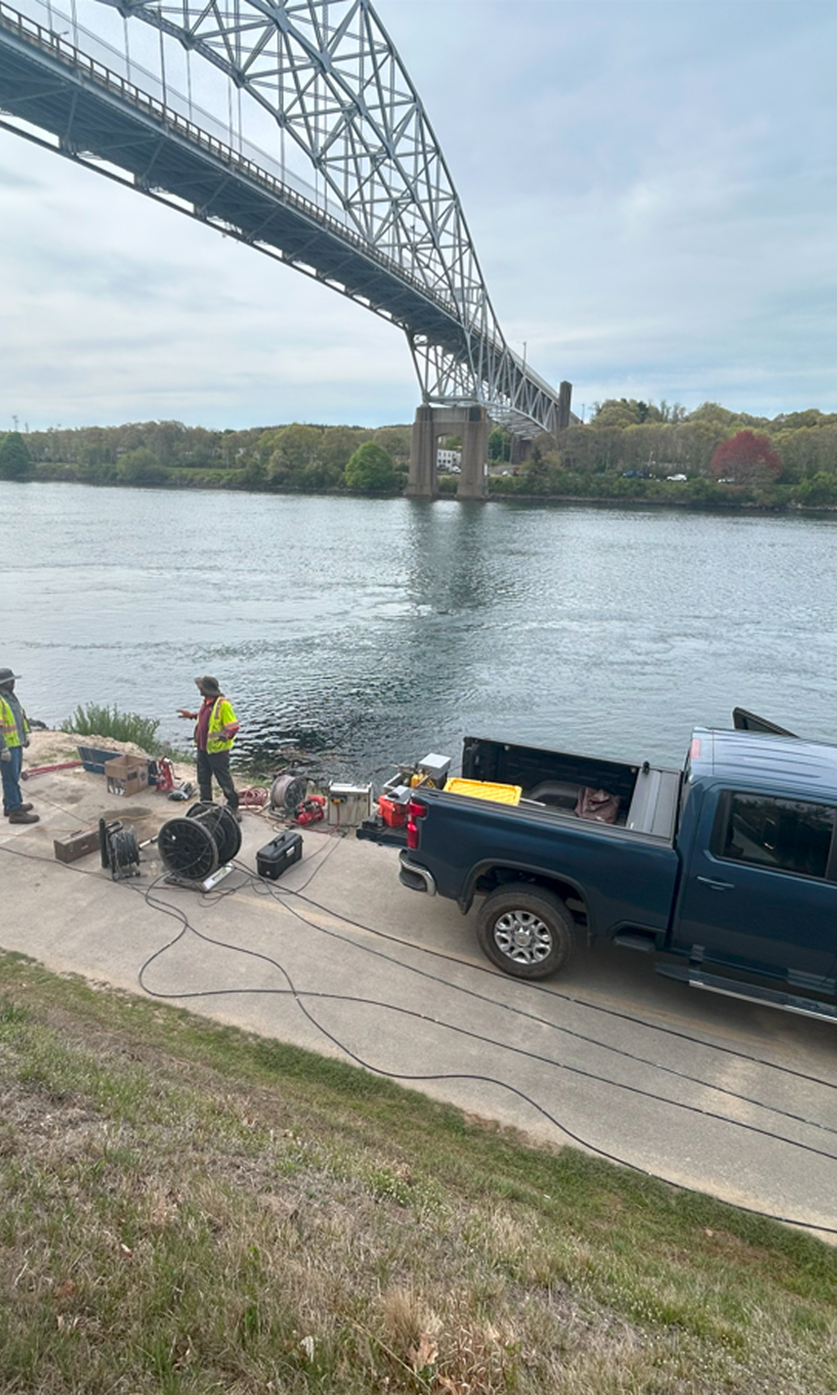
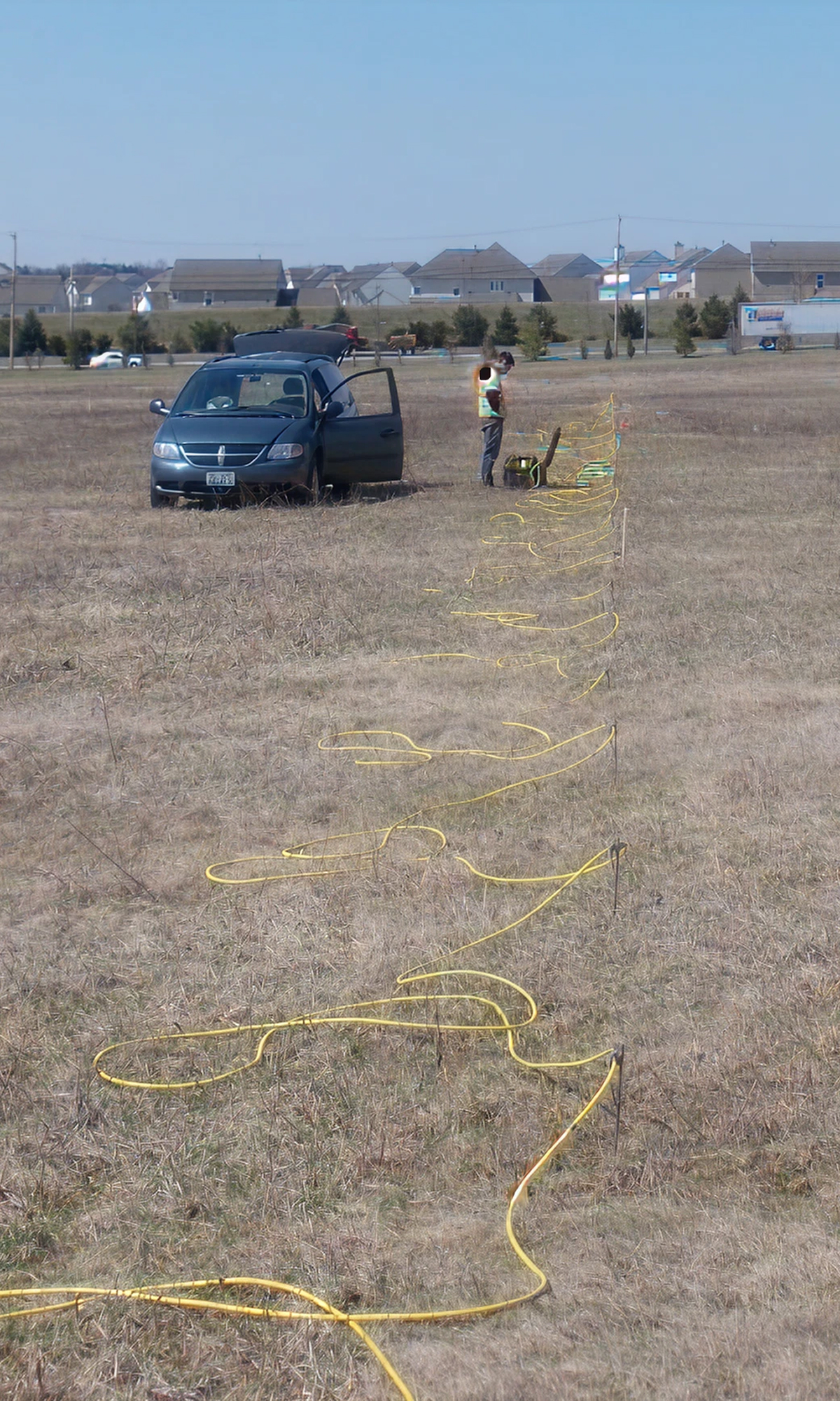
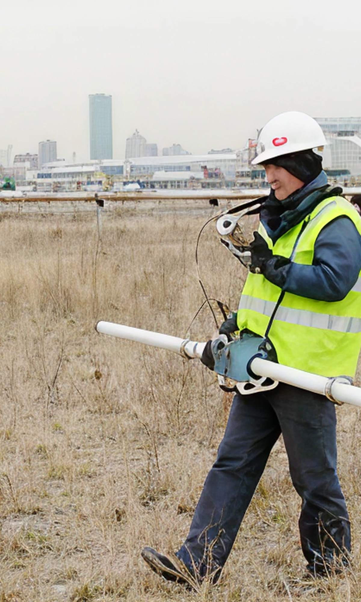
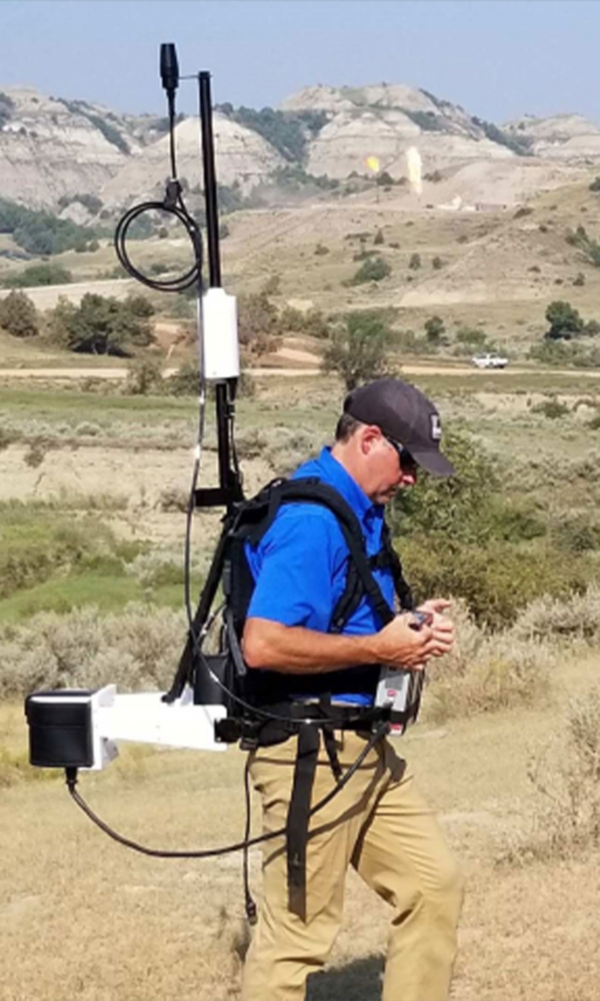
GPR
Surface Seismic
Electrical Resistivity
Electro magnetics
Magnetics
VLF
Borehole Logging
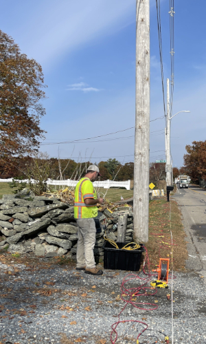
Locate subsurface utilities.
Determine concrete thickness, reinforcement, and presence of voids.
Characterize bedrock topography, depth, and properties
Detect and characterize sinkholes and subsurface voids in soil and/or bedrock.
Determine depth and/or location of existing foundations/foundation elements.
Objectives
GPR
Surface Seismic
Electrical Resistivity
Electro magnetics
Magnetics
VLF
Borehole Logging
Locate subsurface utilities, underground storage tanks, and drums.
Determine depth of water table
Locate possible contaminant migration pathways.
Map extent of fill and debris (metallic and non-metallic).
Map extent of fill and debris (metallic and non-metallic).